
Anúncios
Stay Protected: Real-Time Alerts for Natural Disasters
Get Protected Now
Natural disasters don’t wait for convenient moments to strike. From hurricanes barreling toward coastal communities to the subtle yet devastating effects of El Niño reshaping weather patterns globally, staying informed can mean the difference between safety and catastrophe. In our hyper-connected world, technology has evolved to deliver critical information directly to your smartphone, providing precious minutes or hours to prepare, evacuate, or seek shelter.
The landscape of emergency notification systems has transformed dramatically over the past decade. What once required expensive specialized equipment now fits in your pocket, offering comprehensive coverage of everything from severe thunderstorms to seismic activity. Understanding how these systems work and which tools provide the most reliable information has become essential knowledge for anyone living in areas prone to extreme weather or geological events.
Understanding the Science Behind Real-Time Weather Alerts 🌪️
Modern alert systems rely on sophisticated networks of sensors, satellites, and meteorological stations scattered across the globe. These instruments continuously monitor atmospheric pressure, temperature fluctuations, wind patterns, ocean temperatures, and dozens of other variables that collectively paint a picture of developing weather systems.
When conditions align to create potentially dangerous situations, algorithms process this data in milliseconds. Machine learning models compare current patterns against historical records of hurricanes, tornadoes, floods, and other phenomena. The moment a threshold is crossed—whether it’s wind speed, rainfall intensity, or seismic magnitude—automated systems trigger notifications through multiple channels.
The technology stack includes:
- Doppler radar systems detecting precipitation and wind rotation
- Geostationary satellites monitoring cloud formation from space
- Ocean buoys measuring wave height and water temperature
- Ground-based weather stations recording localized conditions
- Seismometers detecting earth movements in real-time
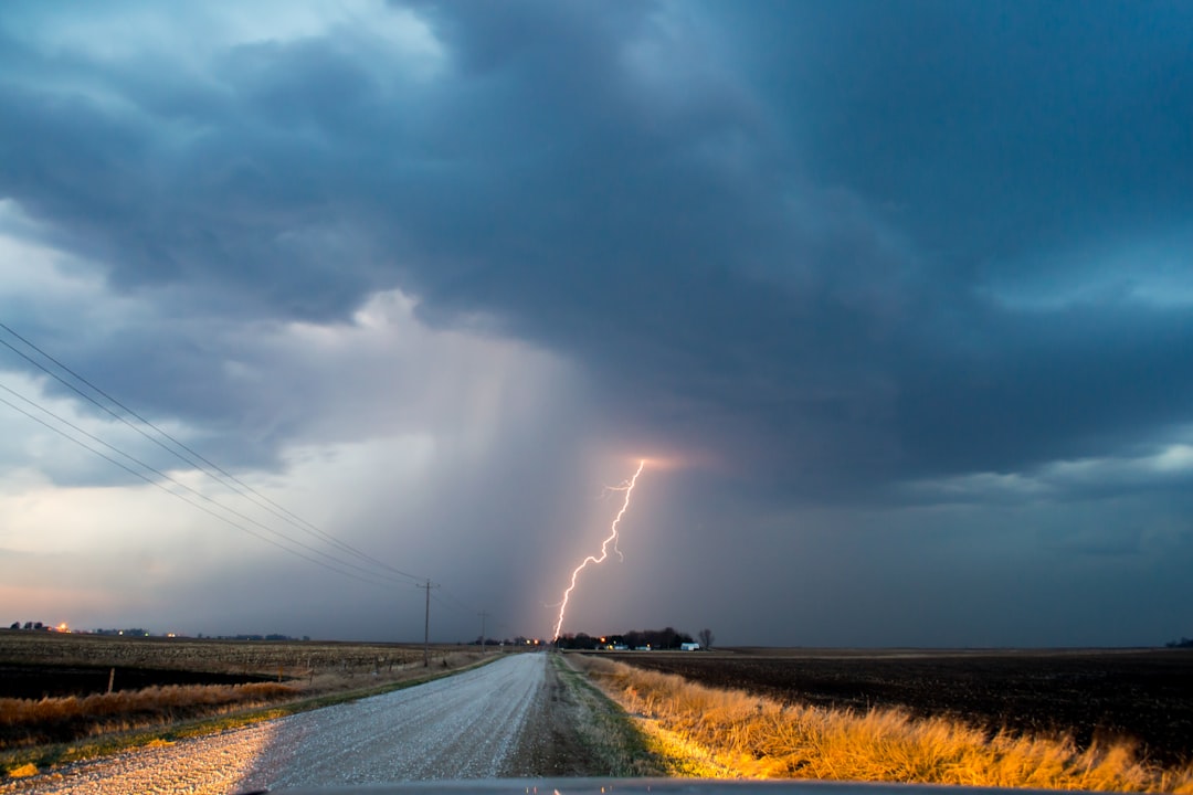
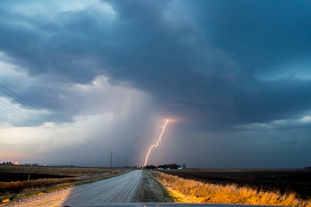
- Lightning detection networks tracking electrical storm activity
These data streams merge into centralized processing centers where meteorologists and automated systems validate threats before issuing public warnings. The entire chain from detection to your phone notification often takes less than 60 seconds for immediate threats like tornado touchdowns or flash flooding.
How El Niño Influences Global Weather Patterns 🌊
El Niño represents one of nature’s most powerful climate drivers, yet many people don’t fully grasp its far-reaching consequences. This oceanic phenomenon occurs when warmer-than-average water temperatures develop across the central and eastern Pacific Ocean, typically every 2-7 years. The temperature shift might seem modest—just 0.5°C above normal—but the atmospheric changes it triggers ripple across continents.
During El Niño phases, the jet stream shifts southward over the United States, bringing wetter winters to the southern states while the Pacific Northwest often experiences drought. South America sees flooding in Peru and Ecuador while Indonesia and Australia battle wildfires fueled by abnormally dry conditions. The Indian monsoon weakens, threatening agriculture across the subcontinent.
Regional impacts include:
- Increased hurricane activity in the eastern Pacific
- Suppressed Atlantic hurricane formation
- Drought conditions in Southeast Asia and northern Australia
- Heavy rainfall along the South American Pacific coast
- Warmer winters in Canada and northern United States
- Coral bleaching events in tropical reef systems
Alert systems specifically designed to track El Niño conditions monitor ocean temperature anomalies, trade wind strength, and sea level variations. These indicators help scientists predict the onset, intensity, and duration of El Niño events months in advance, allowing governments and communities to prepare for likely weather extremes.
The 2015-2016 El Niño ranked among the strongest on record, with peak ocean temperatures reaching 2.6°C above normal. That event caused an estimated $45 billion in global economic damage through droughts, floods, and agricultural losses—demonstrating why advance warning systems matter tremendously.
Storm Tracking Technology: From Formation to Landfall ⛈️
Tropical cyclones—known as hurricanes, typhoons, or cyclones depending on location—represent some of nature’s most destructive forces. Modern storm tracking combines satellite imagery, aircraft reconnaissance, and computer modeling to predict their paths with remarkable accuracy.
The process begins when meteorologists identify tropical disturbances over warm ocean waters. Satellites equipped with infrared and microwave sensors measure cloud top temperatures and rain rates, providing clues about storm organization. As systems intensify, specialized aircraft fly directly into developing storms, dropping instruments that measure wind speed, pressure, and temperature at various altitudes.
This raw data feeds into numerical weather prediction models—supercomputers running complex equations that simulate atmospheric physics. Multiple models generate forecasts independently, and meteorologists analyze the ensemble to determine the most likely track and intensity. The “cone of uncertainty” you see on weather maps represents the probable path, with uncertainty increasing further into the future.
Key metrics tracked include:
- Maximum sustained wind speeds
- Central pressure readings
- Forward movement speed and direction
- Storm surge potential based on bathymetry
- Rainfall accumulation forecasts
- Tornado threat within outer bands
Alert systems connected to these tracking networks issue graduated warnings as storms approach. Tropical storm watches typically go out 48 hours before potential impact, followed by warnings 36 hours out. Hurricane warnings signal imminent danger within 24 hours, providing a final window for evacuation or last-minute preparations.
The accuracy of 24-hour hurricane forecasts has improved by approximately 60% since the 1990s, now averaging just 40 miles of error. Five-day forecasts today match the accuracy of three-day forecasts from two decades ago, buying communities additional precious time to respond.
Essential Features of Effective Alert Systems 📱
Not all notification systems offer equal value. The most reliable platforms share several critical characteristics that separate life-saving tools from mere weather apps.
Location precision stands paramount. Generic county-wide alerts often prove too broad, while GPS-based systems pinpoint your exact position and deliver hyper-local warnings. Some advanced platforms allow you to monitor multiple locations simultaneously—essential for tracking threats to both your home and family members elsewhere.
Multi-hazard coverage ensures comprehensive protection. The best systems monitor not just weather events but also earthquakes, tsunamis, volcanic activity, wildfires, and even industrial accidents or hazardous material spills. Integrating multiple threat categories into a single platform eliminates the need to juggle numerous specialized apps.
Customizable notification settings prevent alert fatigue while ensuring you receive critical information. You might want immediate push notifications for tornado warnings but daily summaries of winter weather advisories. Granular control over alert types, severity thresholds, and delivery methods (push, SMS, email) optimizes the balance between awareness and annoyance.
| Feature | Basic Systems | Advanced Systems |
|---|---|---|
| Update Frequency | Every 30-60 minutes | Real-time (seconds) |
| Location Accuracy | County level | GPS coordinates |
| Offline Capability | Requires connection | Cached data available |
| Historical Data | Limited or none | Extensive archives |
| Multi-language Support | English only | 10+ languages |
Reliable data sources form the foundation of trustworthy systems. Platforms partnering with official meteorological agencies, geological surveys, and emergency management organizations deliver verified information rather than crowdsourced speculation. Look for partnerships with NOAA, USGS, national weather services, or established disaster response organizations.
Offline functionality becomes crucial when cellular networks fail during major disasters. Some apps cache recent data and continue providing stored information even without connectivity, while others integrate with satellite communication systems for truly disconnected operation.
Preparing Your Household for Natural Disasters 🏠
Technology provides the warning, but preparation determines outcomes. Creating a comprehensive household emergency plan transforms alerts from anxiety-inducing notifications into actionable steps you’ve already rehearsed.
Start by identifying the specific threats relevant to your location. Coastal residents prioritize hurricane and storm surge preparations, while those in tornado alley focus on identifying safe rooms and reinforcing structures. Earthquake-prone regions require different strategies than flood zones. Your alert system should reflect these location-specific priorities.
Emergency kit essentials should include:
- Three-day supply of non-perishable food per person
- One gallon of water per person per day
- Battery-powered or hand-crank radio
- Flashlights with extra batteries
- First aid supplies and essential medications
- Copies of important documents in waterproof container
- Cash in small denominations
- Portable phone charger and backup battery packs
Establish communication protocols before disasters strike. Designate an out-of-state contact person everyone can check in with if local networks fail. Program emergency numbers into phones under ICE (In Case of Emergency) contacts. Share your alert app settings with family members so everyone receives identical warnings.
Practice evacuation routes multiple times per year, identifying both primary and alternate paths. Know where official shelters open in your community and what supplies they provide versus what you need to bring. Time your routes under different conditions—the trip that takes 20 minutes on a clear Tuesday morning might require two hours during a Friday afternoon evacuation.
For households with special needs members—elderly relatives, young children, people with disabilities, or pets—develop specific plans addressing their requirements. Many shelters have limitations on what they can accommodate, making advance preparation even more critical.
Understanding Warning Terminology and Severity Levels ⚠️
Emergency alerts use specific language that carries precise meanings, yet confusion about terminology persists. Understanding the difference between watches and warnings can prevent both complacency and unnecessary panic.
A watch indicates conditions are favorable for a particular hazard to develop. A tornado watch means the atmospheric setup supports tornado formation, but none has been detected yet. This is your cue to review your safety plan, secure loose outdoor items, and stay alert for updates.
A warning means the threat is occurring or imminent. A tornado warning indicates a funnel cloud has been spotted by trained observers or detected on radar. Immediate action becomes necessary—moving to your designated safe space without delay.
Advisory represents the lowest tier, indicating conditions may cause inconvenience or pose minor threats to those engaged in specific activities. Dense fog advisories warn drivers to slow down, while small craft advisories alert boaters to choppy conditions unsafe for smaller vessels.
Some alert systems assign color codes or numerical ratings to help users quickly assess severity. The Enhanced Fujita scale rates tornado damage from EF0 (65-85 mph winds) to EF5 (over 200 mph). The Saffir-Simpson scale categorizes hurricanes from 1 (minimal) to 5 (catastrophic). Earthquake magnitudes use the moment magnitude scale, where each whole number represents roughly 32 times more energy release.
Understanding these classifications helps you calibrate your response appropriately. A tropical storm warning calls for securing outdoor furniture and stocking supplies, while a Category 4 hurricane warning demands evacuation from vulnerable coastal areas.
Climate Change and Increasing Disaster Frequency 🌡️
Scientific data reveals troubling trends in disaster occurrence and intensity. While weather has always included extreme events, the baseline is shifting in ways that make severe phenomena more common and more destructive.
Global temperature increases of approximately 1.1°C since pre-industrial times are loading the atmosphere with additional energy and moisture. Warmer air holds about 7% more water vapor per degree Celsius, intensifying precipitation events. The strongest hurricanes are becoming more common as ocean heat content rises, providing more fuel for rapid intensification.
Research published in leading climate journals documents several clear patterns. The number of Category 4 and 5 hurricanes has increased globally over the past 40 years. The proportion of hurricanes undergoing rapid intensification—gaining 35+ mph in 24 hours—has nearly doubled. These sudden strengthening events give coastal communities less time to prepare, making early warning systems even more valuable.
Heatwaves are occurring more frequently and lasting longer. The number of record-breaking heat events has doubled since the 1980s. These extremes stress power grids, threaten vulnerable populations, and create conditions for devastating wildfires.
Drought and flood patterns are shifting. Some regions experience intensified drought as evaporation accelerates under higher temperatures, while others see increased flooding as atmospheric rivers deliver unprecedented precipitation. The phenomenon of “precipitation whiplash”—swinging rapidly between extreme wet and dry conditions—is becoming more common in places like California.
Documented changes include:
- 25% increase in major hurricanes since 1980
- Wildfire seasons extending 2-3 months longer than historical norms
- Arctic sea ice declining approximately 13% per decade
- Glacial melt accelerating in mountain ranges worldwide
- Sea level rise of about 3.4mm annually, accelerating
- Ocean acidification reaching levels unprecedented in 300 million years
These shifts mean historical patterns provide less reliable guidance for future risks. Communities that rarely experienced particular hazards now find themselves in newly vulnerable zones. Alert systems must continually update their algorithms and coverage areas to reflect these evolving threats.
Integrating Smart Home Technology with Alert Systems 🏡
Modern home automation platforms increasingly integrate disaster preparedness features, creating responsive systems that take protective actions automatically when alerts trigger.
Smart home hubs can receive emergency notifications and execute pre-programmed routines. When a severe thunderstorm warning activates, your system might automatically close smart blinds to protect against broken glass, shut off HVAC systems to prevent smoke or contaminant infiltration, and turn on interior lights to aid navigation during power outages.
Water leak detectors connected to automatic shutoff valves can prevent flooding damage when you’re away from home. Coupled with alert systems tracking heavy rainfall or flash flood warnings, these devices provide multi-layered protection against water damage.
Smart smoke and carbon monoxide detectors don’t just alarm locally—they send notifications to your phone and can integrate with weather alert platforms. During wildfire events when smoke fills outdoor air, they provide crucial warnings about when indoor air quality becomes hazardous despite no fire in your immediate vicinity.
Integration capabilities include:
- Automatic garage door closure when tornado warnings issue
- Smart thermostat adjustments to pre-cool homes before heat emergencies
- Backup battery systems activating before predicted power outages
- Security cameras recording increased footage during evacuation
- Smart locks ensuring all entry points secure before storms
- Pool pump shutdowns preventing equipment damage during freezes
Voice assistants from major tech companies now support emergency alert skills, allowing hands-free access to current warnings. You can ask about active watches and warnings for your area, receive detailed forecasts, or get evacuation route information without touching your phone—valuable when you’re simultaneously securing your property.
The Internet of Things creates both opportunities and vulnerabilities. While smart devices offer enhanced preparedness, they depend on power and connectivity that major disasters often disrupt. Maintain traditional backup systems—battery-powered radios, printed emergency contact lists, manual tools—alongside your smart technology.
Psychological Aspects of Living with Disaster Awareness 🧠
Constant connectivity to threat information creates psychological challenges that deserve acknowledgment. Alert fatigue represents a genuine phenomenon where people become desensitized to warnings, potentially ignoring critical notifications amid numerous lower-priority alerts.
Research in disaster psychology shows that frequent false alarms or over-warnings erode public trust and compliance. When a dozen “severe” thunderstorm warnings produce only moderate rain, people begin dismissing subsequent alerts—a dangerous pattern when a genuinely destructive storm finally arrives.
Balancing awareness with anxiety becomes crucial for mental health. Obsessively checking multiple weather apps or refreshing hurricane forecasts hourly rarely provides actionable new information while significantly increasing stress levels. Set reasonable check-in intervals—perhaps morning and evening during active weather situations—rather than continuous monitoring.
Children particularly require age-appropriate communication about disasters. Oversharing frightening information can create lasting anxiety, while providing no context leaves them unprepared. Frame preparedness as empowering rather than frightening, focusing on the actions your family takes to stay safe rather than worst-case scenarios.
Healthy alert management includes:
- Customizing notifications to receive only personally relevant threats
- Establishing designated “check-in” times rather than constant monitoring
- Following only verified official sources to avoid rumor and speculation
- Taking concrete preparedness actions to convert anxiety into productivity
- Knowing when to disconnect from information streams during extended events
- Seeking community connection rather than isolating during stressful periods
Building community resilience provides psychological benefits beyond individual preparedness. Knowing your neighbors, participating in community emergency drills, and volunteering with local response organizations create social connections that buffer against disaster-related stress. These networks also provide practical benefits—sharing resources, checking on vulnerable neighbors, and pooling knowledge about local hazards.
Global Perspective: Alert Systems Around the World 🌍
Different nations approach disaster notification with varying technological capabilities and cultural contexts. Examining international systems reveals innovative approaches worth considering regardless of location.
Japan’s earthquake early warning system represents perhaps the most sophisticated in the world. Sensors detect initial P-waves from earthquakes and calculate location and magnitude within seconds, broadcasting alerts before the more damaging S-waves arrive. This provides precious seconds for automated systems to halt trains, close gas lines, and alert people to take cover. The system has been credited with preventing thousands of injuries since implementation.
The Netherlands employs an integrated water management approach, combining alert systems with extraordinary infrastructure. Living below sea level requires constant vigilance about storm surges and flooding. Their system integrates weather forecasts with dike monitoring, pump station status, and emergency barrier positions, providing comprehensive flood protection that’s saved countless lives.
Australia’s fire danger rating system uses color-coded categories from Green (no rating) through to Code Red (catastrophic). The system considers temperature, humidity, wind speed, and vegetation dryness to predict fire behavior. Regions displaying Code Red ratings trigger automatic school closures, public transit adjustments, and emergency service pre-positioning.
Cuba’s hurricane preparedness program achieves remarkable results despite limited economic resources. Mandatory evacuation drills, extensive community education, and a culture that treats storm preparation as collective responsibility have kept hurricane death tolls extremely low even during major strikes. Their approach demonstrates that technology alone doesn’t determine outcomes—social organization and public education matter tremendously.
Developing nations face unique challenges implementing alert systems. Limited infrastructure, spotty cellular coverage, and populations without smartphones require creative solutions. Some countries use radio broadcasts, SMS messages to basic phones, or even siren systems and community alerting networks to disseminate warnings.
Taking Action: Implementing Your Personal Alert Strategy 🎯
With understanding established, practical implementation becomes the next step. Creating an effective personal alert strategy requires evaluating your specific risks, selecting appropriate tools, and integrating them into daily routines.
Begin with a threat assessment for your location. Government emergency management websites typically provide hazard maps showing flood zones, earthquake faults, wildfire risk areas, and hurricane vulnerability. Historical records reveal what disasters have struck your area previously and with what frequency. Climate projections indicate how these patterns might shift in coming years.
Select alert platforms matching your identified risks. Someone in Oklahoma needs tornado-focused systems, while Florida residents prioritize hurricane tracking. California requires earthquake and wildfire monitoring, and coastal areas anywhere must watch for tsunami threats. Rather than installing a dozen specialized apps, seek comprehensive platforms covering multiple hazard types.
Configure notification settings thoughtfully. Start conservatively—enable only critical alerts initially, then expand coverage based on your comfort level. Most systems allow severity thresholds, so you might receive immediate notifications for warnings but daily summaries for watches and advisories.
Implementation checklist:
- Download and configure primary alert application
- Add backup notification system (different data source)
- Program emergency contacts into phone
- Set location tracking for automatic local alerts
- Enable emergency override for Do Not Disturb settings
- Test notifications monthly to ensure they’re working
- Share alert app recommendations with family and friends
- Review and update settings seasonally as threats change
Connect your alert systems to actionable plans. A tornado warning notification should trigger immediate movement to your designated safe room—not frantic searching for where to go. Hurricane watches should activate your preparation checklist covering everything from fueling vehicles to securing outdoor furniture. Create written plans so when stress levels spike during actual emergencies, you can follow established procedures rather than making panicked decisions.
Practice makes preparedness automatic. Conduct quarterly drills where you respond to simulated alerts as if they were real. Time how long it takes your family to reach safe spaces or gather emergency supplies. Identify bottlenecks or missing resources before they become critical during actual events.
Review your approach annually as circumstances change. New family members, moved furniture, seasonal decorations, or renovations can all affect evacuation routes and safety plans. Technology updates regularly, with newer alert platforms offering improved accuracy or additional features. Regular review ensures your preparedness stays current rather than becoming outdated.
The minutes between receiving an alert and a disaster’s arrival represent your window of opportunity. Whether that’s seconds before an earthquake, hours before a tornado, or days before a hurricane, proper preparation allows you to use that time effectively. Download reliable alert systems today, configure them for your specific location and needs, and build the plans that transform warnings into safety. Your future self—the one facing an actual emergency—will thank you for the preparation you complete today. Natural phenomena remain beyond human control, but your response to them is entirely within your power to manage.
